Today on Topside
· Tomorrow & the week: Lake Report or Premium →Best fishing times
All fishTimes by species available in Premium
Wind & weather
National Weather ServiceWhat Topside is best for
DNR data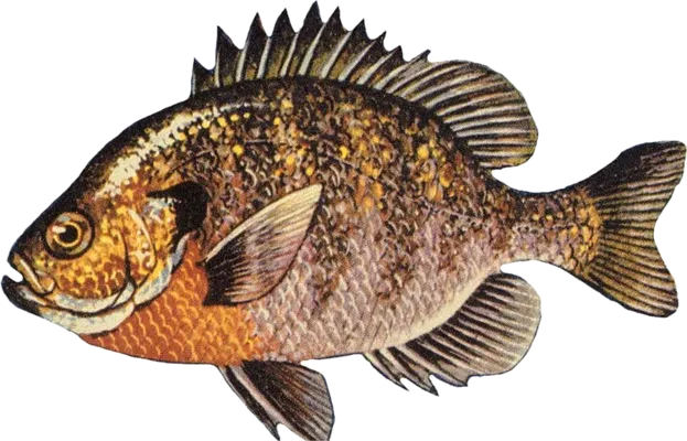 BluegillPanfish, present3.8
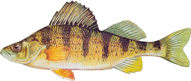 PerchPanfish, present3.8
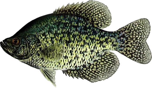 CrappiePanfish, present3.8
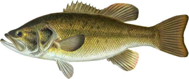 LargemouthPresent3.8
How we rate
Start from how common the DNR says the fish is (abundant 7.5, common 6, present 3.5). Add 1 if the DNR stocked it in the last 5 years, 0.6 for walleye in two-story or complex lakes, and up to 0.9 for lake size. The DNR counts bluegill, perch and crappie together as panfish, so they share a score.
Depth map
None publishedThe DNR has no depth map online for Topside.
Not for navigation. Old survey; depths and weed lines change.
Rules on this lake
DNR · checked 2026-10-08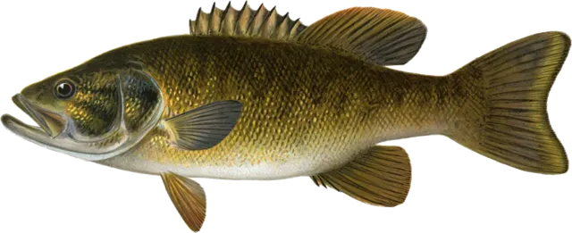 Bass Bass | 14" min · 5 a dayJune 20, 2026 to March 7, 2027 | Open |
| Panfish | No size limit · 25 a dayOpen All Year | Open |
| Sturgeon | No fishing | Closed |
Launches & access
0 publicBefore you go
DNRThis is health advice about eating fish, from the DNR. It is not how many you can catch or keep. Catch limits are in Rules.
Eat any amount Bluegill and Sunfish, Bullheads, Crappies, Inland Trout, Yellow Perch
Up to 1 meal a week Bass, Catfish, Pike, Walleye, All Other Species and Sizes
Up to 1 meal a month Muskies
Statewide advice; no lake-specific advisory. Stricter for women who may get pregnant and children under 15. DNR detailsIce on Topside
Reports & estimateReviews
No reviews yetNear Topside
Local dealsLocal bait shops, resorts and supper clubs can put a coupon here and on the printed sheet, free for a year. Add your business
Topside board
Catches & reportsLakes near Topside
Within 25 miles| Lake | Miles | Acres | Max depth |
|---|---|---|---|
| Long LakeBayfield | 1.9 | 263 | 23 ft |
| Bladder LakeBayfield | 2.3 | 81 | 35 ft |
| Crooked LakeBayfield | 3.1 | 93 | 34 ft |
| Lake MillicentBayfield | 3.7 | 183 | 53 ft |
| Buskey BayBayfield | 3.9 | 100 | 51 ft |
| Hart LakeBayfield | 4 | 259 | 54 ft |
| Finger LakeBayfield | 4.1 | 76 | 25 ft |
| Spider LakeBayfield | 4.2 | 75 | 23 ft |
Topside questions
How deep is Topside Lake?
Topside Lake is 10 feet at its deepest. It covers 66 acres.
What fish are in Topside Lake?
The Wisconsin DNR lists panfish (present) and largemouth bass (present).
Do I need a trout stamp to fish Topside Lake?
A Wisconsin fishing license covers this lake. No trout or Great Lakes stamp needed here.
What is the walleye limit on Topside Lake?
15" min · keep none 20–24" · 1 over 24" · 3 a day. Season: May 2, 2026 to March 7, 2027.
Fish it longer
Today's sheet is always free. Planning ahead takes a report or Premium.Lake Sheet
- Today's best fishing times, all fish
- Wind, weather, sun and moon
- Depth map with depths labeled
- Rules, license and species ratings
- The printable two-page sheet
Lake Report
- Your trip, up to 14 days
- Pick your species
- What to use, where, when and how, every day
- Times by species on the bite clocks
Premium
- Every lake, every day: times by species
- Up to 25 full Lake Reports a season; more at $9 each or 25 for $49
- Tomorrow and the week ahead on any lake
- Your lake's dashboard on your phone's home screen
- Stocking alerts for your lakes
Sources: Wisconsin DNR (lake facts, species, rules, stocking, consumption advice, survey map), National Weather Service (forecast). Sun and moon computed for the lake's location. Best times are a model of light and moon, not a promise. Checked 2026-10-08.